This weekend I am tasking myself with figuring out how to download spatial imagery from GloVis and extract land use information from where we are monitoring nests and examining occupancy. A map from GloVis is not just a pretty map – it is a data array of pixels that represent land use. Each 30 m square pixel is coded by one of several states that represents land use. In map speak this type of map is called a raster. The alternative is to have a map composed of lines and shapes.
We’ll plop our points on the map and use those locations as centers of circles within which we will figure out how much of that circle is urban or forest or something else. I’ll do this in R using the package raster and probably a function called extract. The process is about the same as the less precise way of asking yourself how urban a place is by walking around the neighborhood. How large the circle is up for debate but a smaller circle (say 100 m radius) would be what you see as you looked around you. A kilometer around a point would be what you would see on a short walk. If you think about what happens at a nest – it hatches or not – then you might understand why the buffer size is not known. A nest predator, like a Cooper’s Hawk, might have a large territory but its searching behavior might be affected by vegetation directly around a nest.
My plan is to include two measures so we can compare local versus landscape variables because both are probably important – maybe. I’ll use logistic regression to build the models. Logistic regression looks at binary data (in our case fledge or not) and examine the effect of our chosen variables.
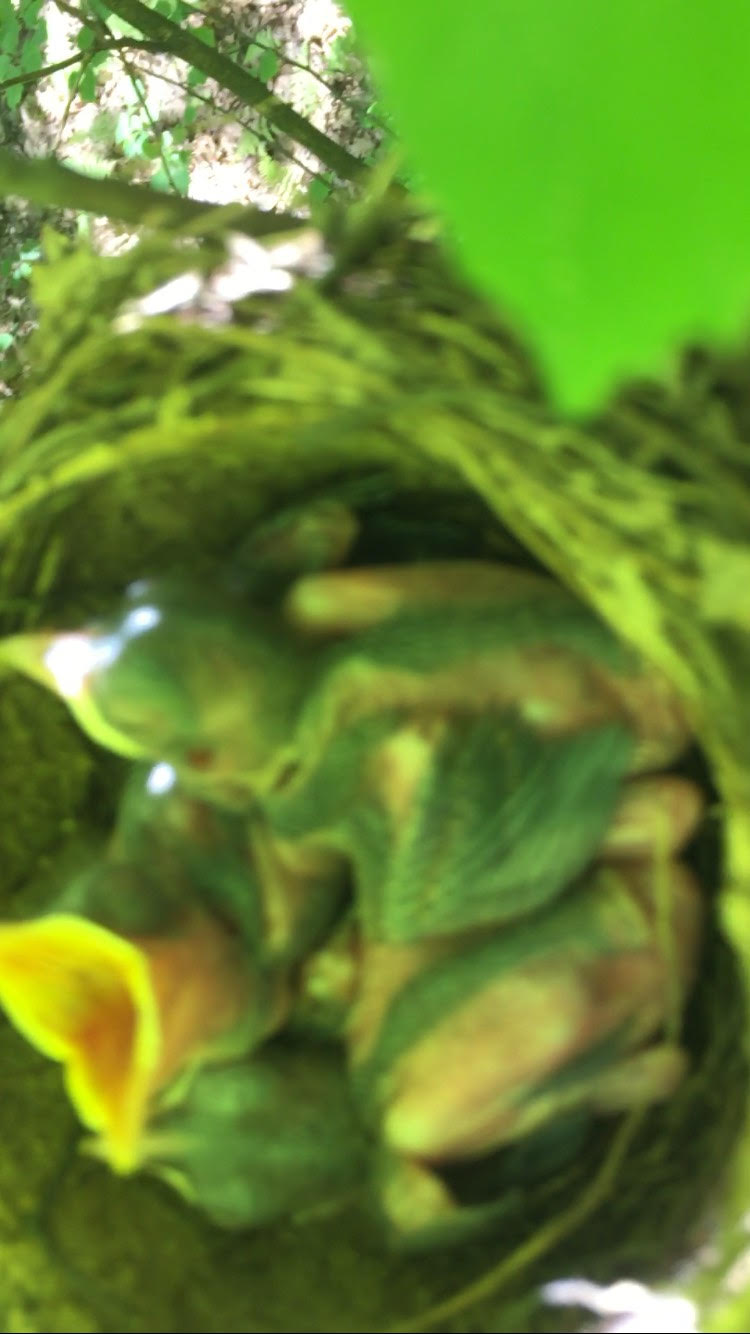
Anyway, here’s your reward for visiting: Wood Thrush chicks.